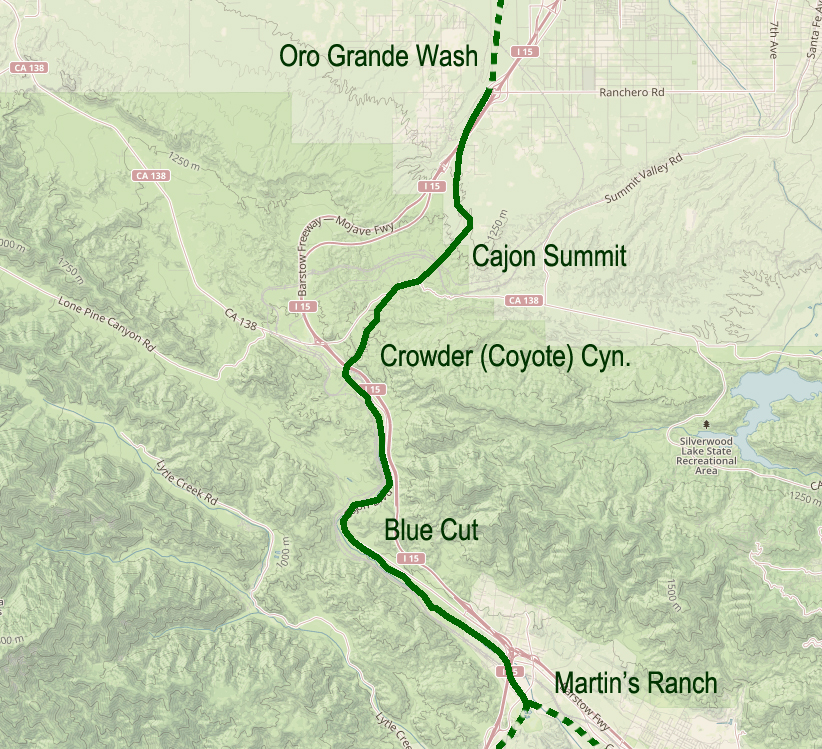
Originally, possibly a footpath for trade and society. There is no written record of that. After explorers, and then trade caravans wore in mule trails and braided paths as travelers do, to find the path of least resistance. Following the Mojave River, and to get to the hills and valleys of southern California this route was the most direct way, and indeed it was the only way for miles and miles in either direction where wagons could pass through the mountains.
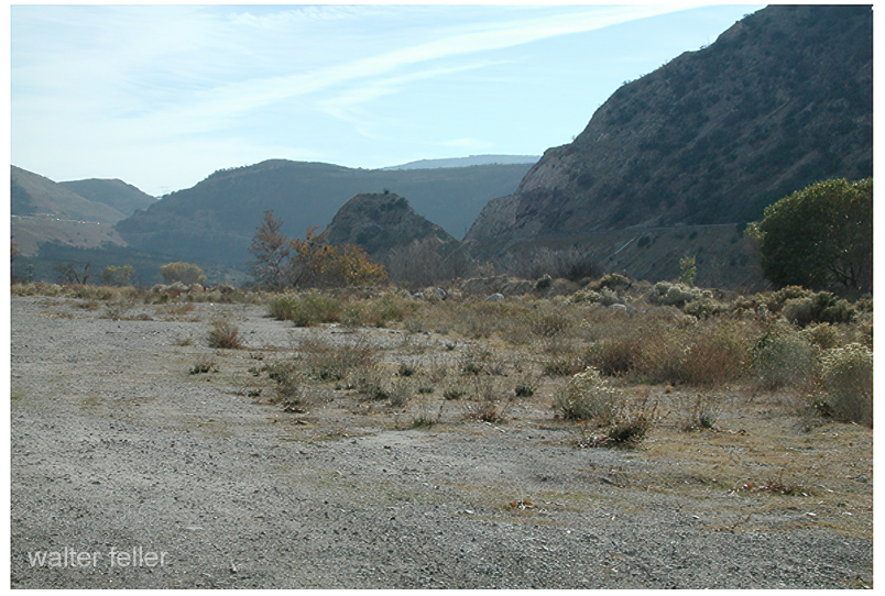
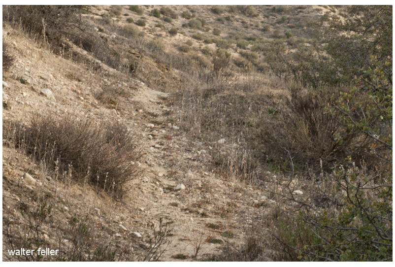
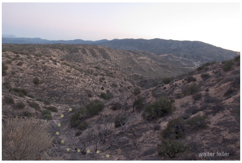
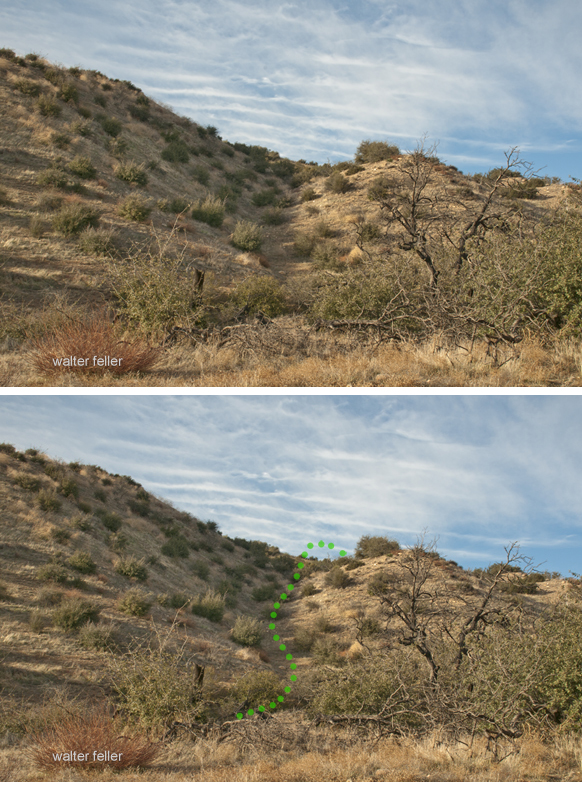
All the frayed trails come together at essentially one point. Within a few yards either way, most all travelers would pass through this trail bottleneck. If there were remnants or traces of old wagon roads where pioneers and freighters passed through and they could still be seen, it would be here where this faint suggestion of an old trail can be observed.


I have heard that Captain Jefferson Hunt brought the first wagon through the pass. Since he succeeded at that, Captain Hunt became instrumental in bringing the early pioneer wagon trains across the Mojave Desert.
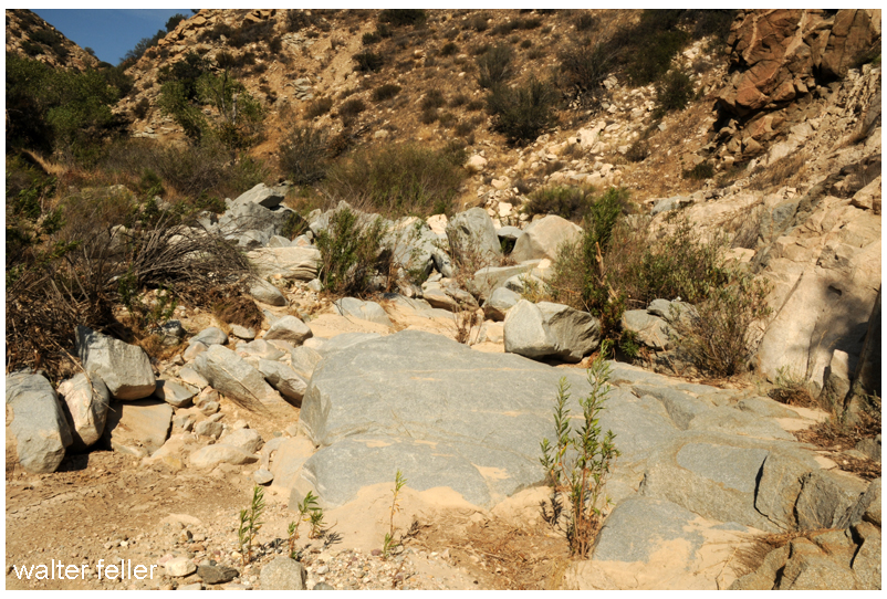
Steep at the top and rocky at the bottom, the solution was to disassemble wagons at the bottom and use mules to pack everything through the rocks on the mule trail, then put it all back together.
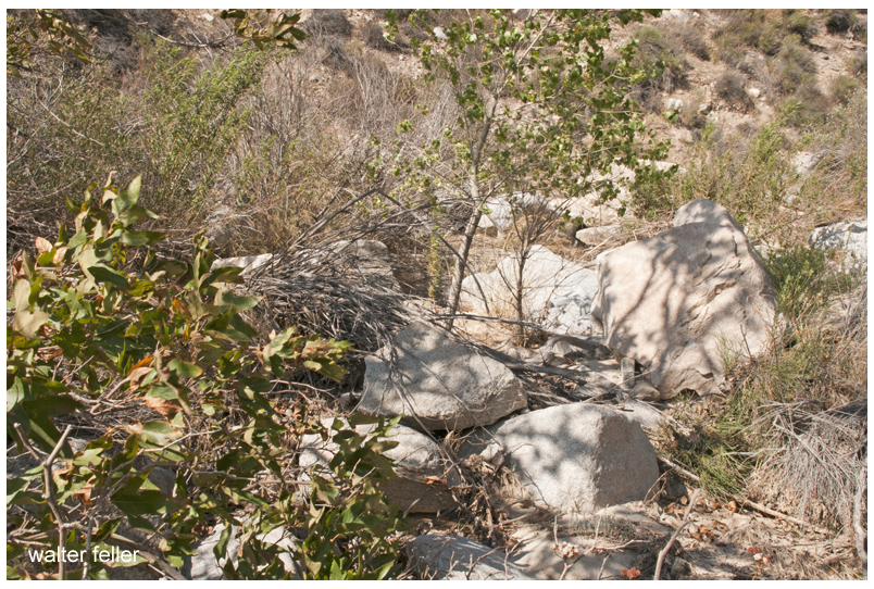
Floods were common and so was the erosion which would cause damage to the already rugged trails. One time this way would be good, the next time another.
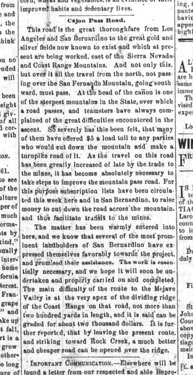
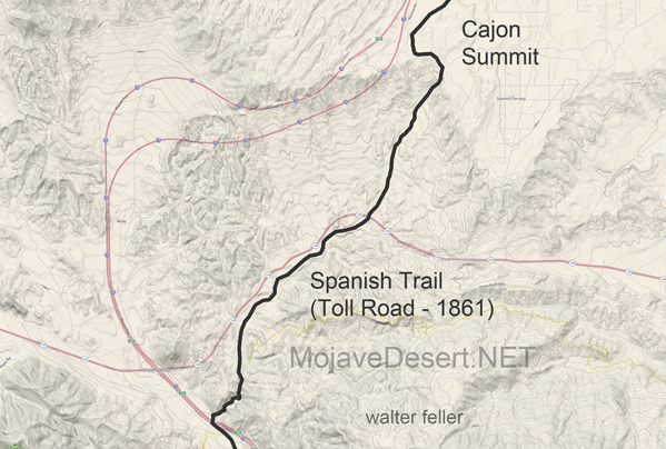
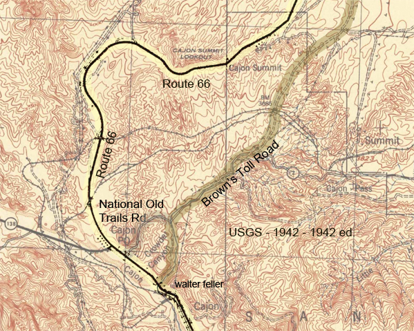
This road is the great thoroughfare from Los Angeles and San Bernardino to the great gold and silver fields now known to exist and which at present are being worked, east of the Sierra Nevada and Coast Range Mountains. And not only this but over it, all the travel from the north, not passing over the San Fernando Mountain, going southward, must pass. At the head of the cañon is one of the steepest mountains in the State, over which a road passes, and teamsters have always complained of the great difficulties encountered in the ascent. So severely has this been felt, that many of them have offered $5 a load toll to any parties who would cut down the mountain and make a turnpike road of it. As the travel on this road has been greatly increased of late by the trade to the mines, it has become absolutely necessary to take steps to improve the mountain pass road. For this purpose subscription lists have been circulated this week here and in San Bernardino, to raise money to cut down the road across the mountain, and thus facilitate transit to the mines.
– Los Angeles Star – April 6, 1861
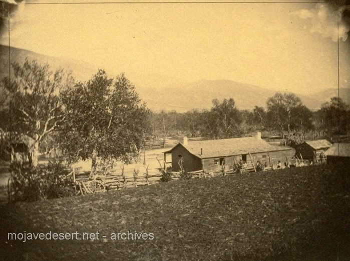
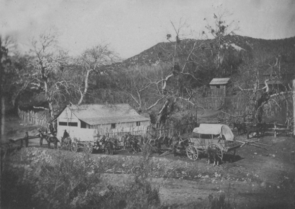
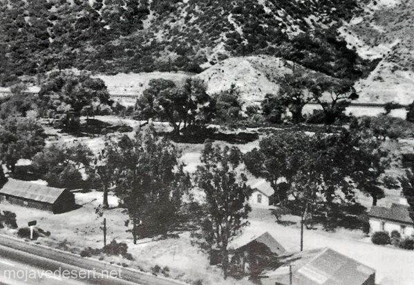
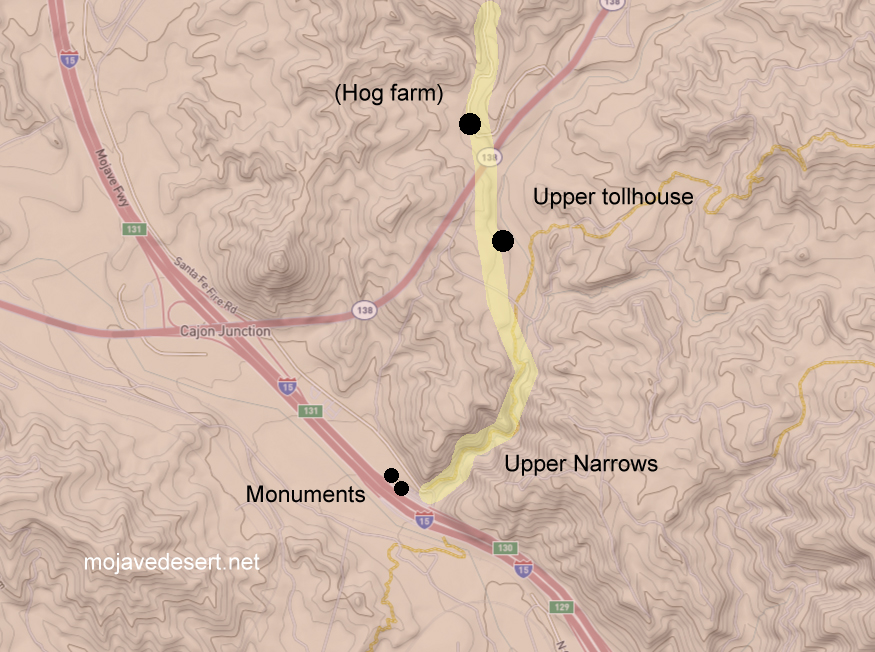
The road which I followed in 1865 crosses from left to right bank of the river a few miles above the Grapevine place said, continues past Cottonwood to Point of Rocks, 22 miles from Grapevine, on a southwest course; at Point of Rocks it turns due south to what was called Lane’s, or the Upper crossing, and there leaves the river entirely to strike straight south by west for Cajon pass in the mountains, reached in 19 miles from Lane’s. This is the way I went, as my itinerary shows: ” Nov. 9. To Martin’s ranch, 29 miles S. from Lane’s crossing; more than half the distance in open country, and then we entered the Cajon pass in the mountains, where there is a tollgate. The pass is a narrow, deep, and tortuous canon, the roughest I have ever traversed on wheels; there was 10 miles of this from the tollgate to Martin’s ranch.” Now Garces has been sent through Cajon pass, with a query, as by Bancroft, Hist. Cala., i, p. 275; but I do not think he went that way. Taking his courses on their face, he continued up the Mojave.
– Elliot Coues – On the Trail of a Spanish Pioneer