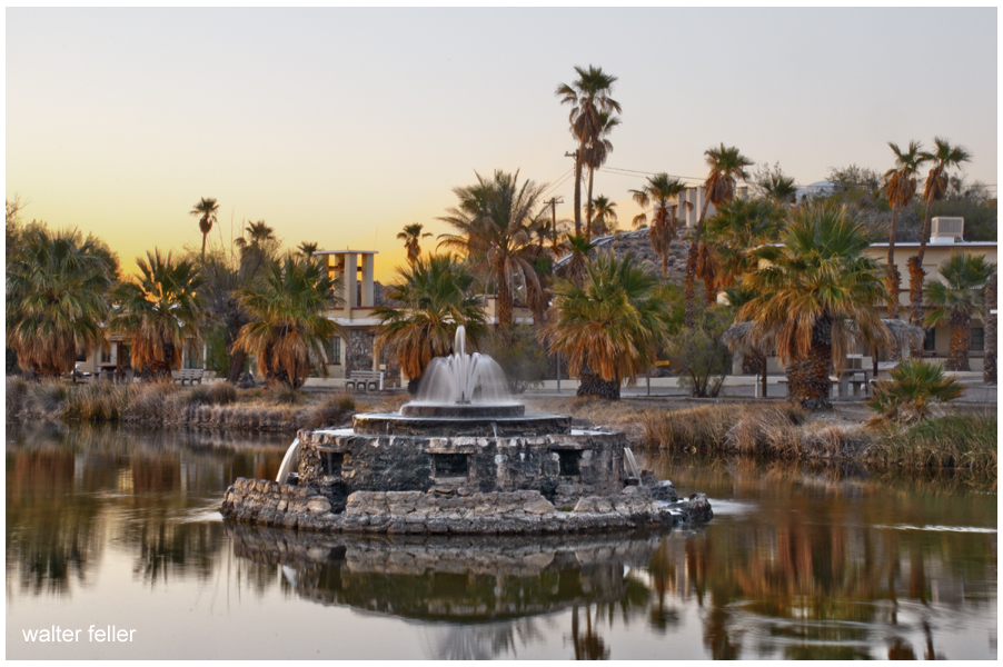
The Mojave River is a strange, beautiful thread of water in California’s high desert. Most of the time, you can’t see it. It hides beneath the sand, popping up only in rare places like Afton Canyon or the Narrows near Victorville. But this ghost river has a long and complicated past tied to shifting earth, ancient climates, lost lakes, and generations of people who relied on it.
It all began millions of years ago when tectonic forces pushed up the San Bernardino and San Gabriel Mountains. These rising peaks blocked older river systems that used to flow toward the Pacific. With nowhere to go, water from the mountains started pooling in the desert. Over time, a new river formed, trapped within these closed desert basins. That was the beginning of the Mojave River.
During the Ice Age, things looked very different. The Mojave River wasn’t just a trickle or an underground stream—it was a robust river that flowed year-round, fed by rain and snowmelt from the mountains. It carried water from the San Bernardino Mountains to a series of massive lakes out in the desert: Lake Manix near Barstow and Lake Mojave farther east. These were deep, wide bodies of water teeming with life. Around 18,000 years ago, Lake Manix overflowed, carving the dramatic Afton Canyon and sending a flood of water toward Soda and Silver Lakes, which became Lake Mojave. Fossils from this time show mammoths, saber-toothed cats, and even aquatic life like fish and freshwater snails around the river and lakes.
When the last Ice Age ended, the climate changed. It got warmer and drier, and the big lakes began to dry up. The river still carried water now and then, but only during the wet season, and it often disappeared underground. Over thousands of years, it became the ghost river we know today. Now, it flows mostly beneath the desert floor, surfacing briefly after storms or in spots where rock formations push it upward.
Despite its dryness, the Mojave River is the lifeblood of the western Mojave Desert. Its rare surface flows and hidden undercurrents recharge underground aquifers, feed oases, and support all kinds of desert life. You’ll find cottonwood trees, willows, and even small fish like the endangered Mojave tui chub in wetter stretches. Birds rely on it too, especially migratory species that need stopover habitat in the middle of a dry land. Some stretches, like Palisades Ranch and Afton Canyon, are rich in wildlife because of the river’s presence.
People have followed the Mojave River for thousands of years. Indigenous groups, especially the Vanyume (a branch of the Serrano), lived along its banks and used its waters to survive in the desert. It also became part of significant trade and travel routes, notably the Mojave Road. Spanish explorers like Father Garces followed it in 1776, and American mountain men like Jedediah Smith came through in the 1820s. Later, Mexican traders and Mormon pioneers used it to reach California.
In the 20th century, towns like Victorville, Barstow, and Daggett grew along the river. They pulled water from its aquifer for agriculture and homes. Over time, more groundwater was pumped out—more than was going back in. This led to water shortages and falling water tables. To fix it, water agencies began regulating pumping and importing water from Northern California to recharge the Mojave Basin. Today, the Mojave Water Agency closely monitors the river’s underground flow.
Climate change is also reshaping the river’s future. Bigger storms could cause major flooding, but longer droughts make the river even more fragile. Meanwhile, conservation groups are working to protect the remaining green places along the river—removing invasive tamarisk, planting native trees, and safeguarding habitat for birds, fish, and other wildlife.
So while the Mojave River may not look like much at first glance—just a dry wash running through the desert—it’s the thread that ties together this region’s natural and human story. From Ice Age megafauna to modern groundwater battles, the Mojave River has quietly shaped life in the desert for millennia.
Sources: https://pubs.usgs.gov/of/2004/1007/mojave/index.htm – USGS: Mojave River Geologic Framework and Groundwater Flow https://pubs.er.usgs.gov/publication/wri024280 – USGS Water Resources Investigations: Mojave River Flow System https://mojavedesert.net/mojave-river/ – Digital Desert: Overview and History of the Mojave River https://digital-desert.com/mojave-river/ – Digital Desert: Detailed Description of the Mojave River Course and Features https://digital-desert.com/mojave-river/east-fork/ – Digital Desert: East Fork of the Mojave River https://digital-desert.com/mojave-river/west-fork/ Digital Desert: West Fork of the Mojave River https://digital-desert.com/natural-mojave-river/ – Digital Desert: The Natural Mojave River https://www.blm.gov/visit/afton-canyon – BLM: Afton Canyon Natural Area https://www.mojavewater.org/ – Mojave Water Agency: Groundwater Management and River Info https://westernrivers.org/where-we-work/california/mojave-river – Western Rivers Conservancy: Mojave River Conservation Projects https://www.mdlt.org/ – Mojave Desert Land Trust: Mojave River Habitat Protection https://nrm.dfg.ca.gov/FileHandler.ashx?DocumentID=83982 – CDFW: Camp Cady Wildlife Area Management Plan https://www.fs.usda.gov/Internet/FSE_DOCUMENTS/fseprd493364.pdf – USDA: Mojave River Watershed Assessment https://en.wikipedia.org/wiki/Mojave_River – Wikipedia entry with references on river history, hydrology, and human use
