Historical Timeline
Prehistoric times
Before there was a town, the Paiute-Shoshone people lived in the Owens Valley for thousands of years. They built irrigation ditches, hunted game, and grew native crops. The area around modern Lone Pine had creeks, springs, and fertile land—ideal for their way of life.
1834
Explorer Joseph Walker passed through the valley. His route over Walker Pass helped open the area to future travel and settlement.
1861
Silver was discovered in the Inyo Mountains, and miners arrived in droves. Lone Pine was founded as a supply point for the booming Cerro Gordo mines across the valley. It was named after a single pine tree that once stood near Lone Pine Creek.
1865
Tragedy struck when a deadly earthquake hit the Owens Valley. The quake, estimated at magnitude 7.4, caused major damage to Lone Pine. Nearly every building collapsed, and about 27 people died. Fault scarps from that quake can still be seen today.
1870s
Lone Pine grew as the main gateway to Cerro Gordo and later Darwin. Mules hauled ore, and wagons loaded up supplies. The town had blacksmiths, boarding houses, saloons, and a steady stream of travelers and prospectors.
1880s–1890s
The Carson & Colorado Railroad came through the valley, reaching Lone Pine’s southern neighbor, Keeler. Though Lone Pine wasn’t directly on the rail line, it remained an important hub for travelers and freighters.
Early 1900s
Lone Pine began to shift from a mining supply town to a ranching and tourism center. Its location at the foot of the Sierra Nevada made it a natural base for climbers, hikers, and adventurers headed toward Mount Whitney—the tallest peak in the lower 48 states.
1924
The first film crew arrived. Lone Pine’s wide-open spaces and rugged scenery made it a Western favorite. Over the decades, hundreds of movies were filmed in the nearby Alabama Hills, featuring stars like John Wayne, Roy Rogers, and Clint Eastwood.
1930s–1950s
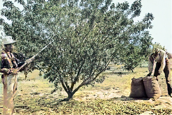
Lone Pine’s movie legacy grew. Local businesses thrived on tourism and film production. At the same time, the town’s ranching and farming roots kept it grounded. The Los Angeles Aqueduct, built in the 1910s and expanded later, continued to drain water from the Owens Valley, creating conflict with local farmers.
1942
The Manzanar War Relocation Center opened just north of town. This internment camp held over 10,000 Japanese Americans during World War II. Lone Pine residents witnessed one of the darker chapters in U.S. history up close.
1960s–1980s
The town kept a steady pace. Tourists came for fishing, hiking, and climbing. Lone Pine remained a place where folks stopped on their way to Death Valley or Yosemite.
1990s–Today
Lone Pine embraces its movie history with the annual Lone Pine Film Festival and the Museum of Western Film History. It also serves as a base for outdoor enthusiasts, with Mount Whitney, the Alabama Hills, and countless hiking trails right outside town. Despite its small size, Lone Pine holds onto a big piece of California history—mining, movies, mountains, and more.