Skip to content

Desert Gazette

  • Last 5
  • Recent Posts
  • History
  • Post Categories
  • Image Galleries
  • blog
  • blog
  • Mojave Desert Net
  • MDN Facebook
  • Login
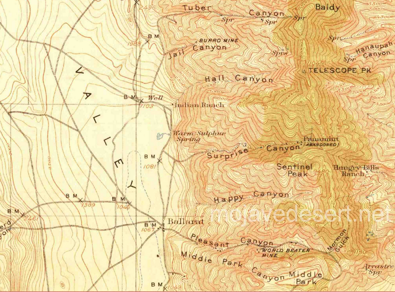
Previous Image
Next Image

800-ballarat-area-map-usgs-1913

Map pf Panamint Mtns. & Valley area - Ballarat

Map pf Panamint Mtns. & Valley area – Ballarat

Posted on September 18, 2017September 18, 2017 Full size 800 × 592

Post navigation

Published in800-ballarat-area-map-usgs-1913

Search

ADVERTISEMENT

  • Cajon Creek
  • Loggerhead Shrike
  • Last Chance Spring
  • Cow
  • 1925 Mojave
  • Last 5
  • Recent Posts
  • History
  • Post Categories
  • Image Galleries
  • blog
  • blog
  • Mojave Desert Net
  • MDN Facebook
  • Login
Desert Gazette Proudly powered by WordPress