With Timeline of Events
Apple Valley, located in California’s High Desert, has a deep and varied history shaped by Native peoples, pioneers, developers, and Hollywood legends.
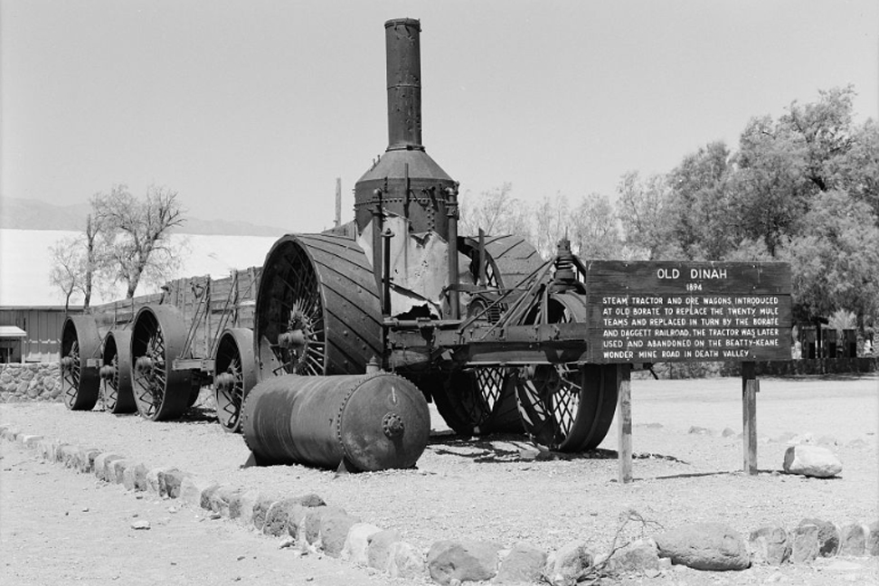
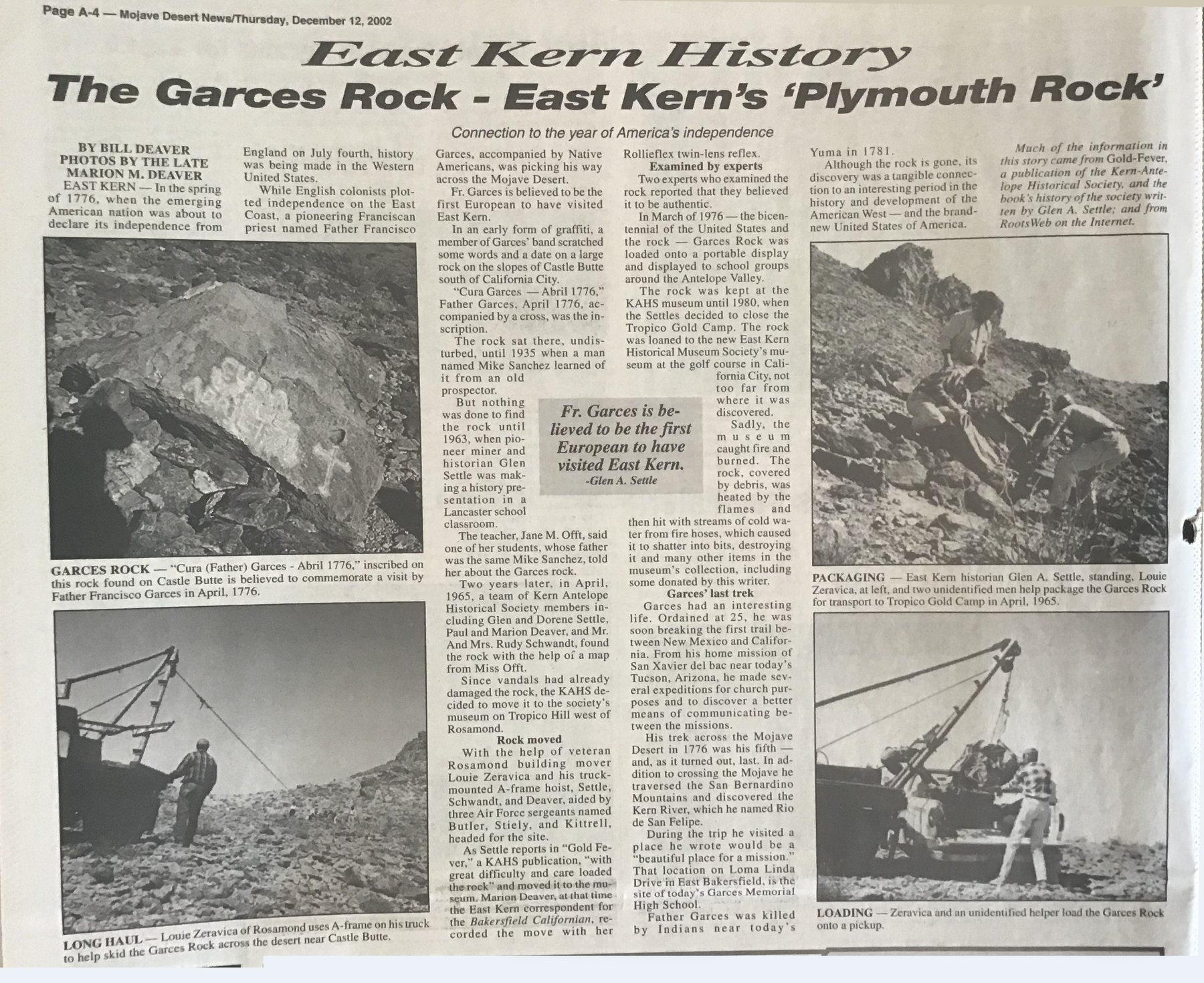
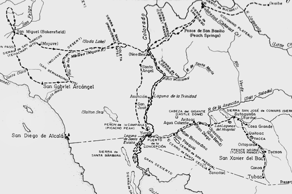
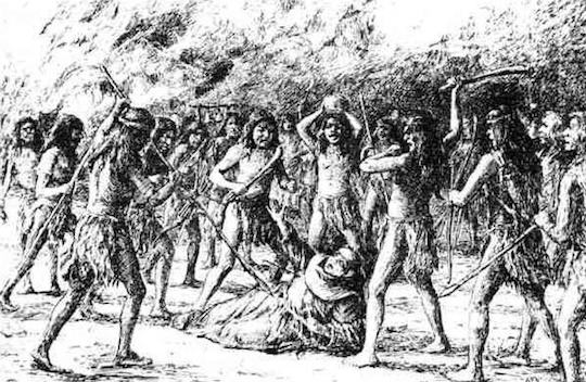
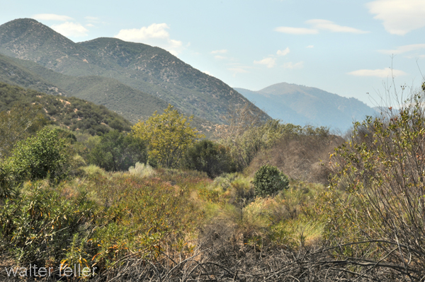
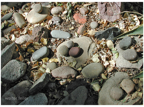
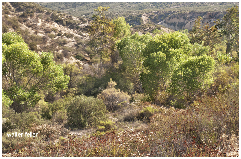
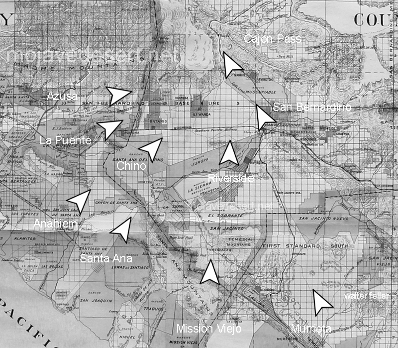
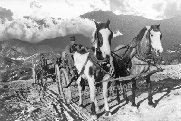
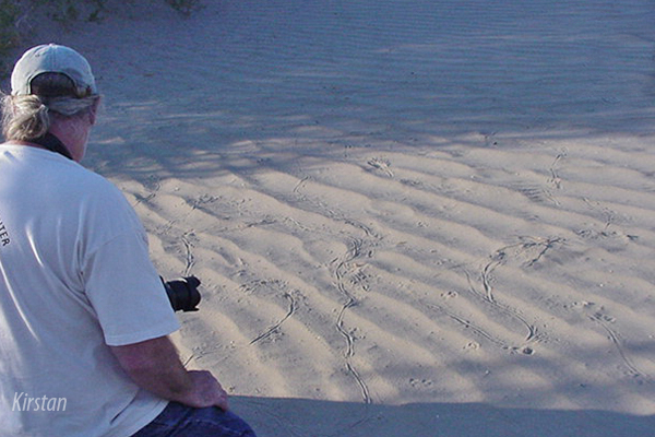
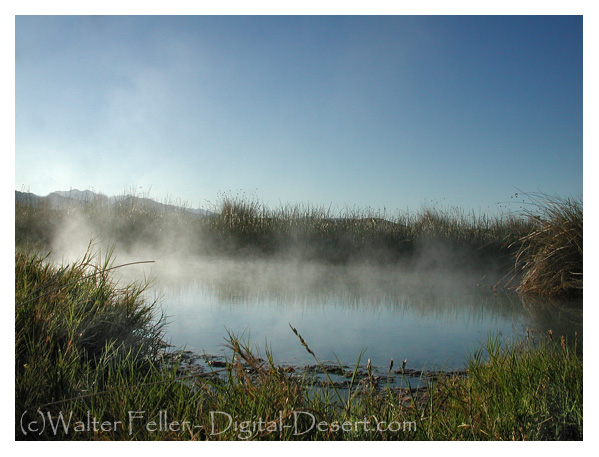
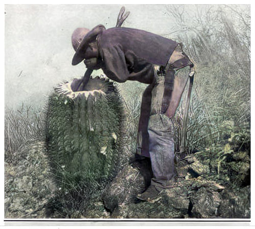
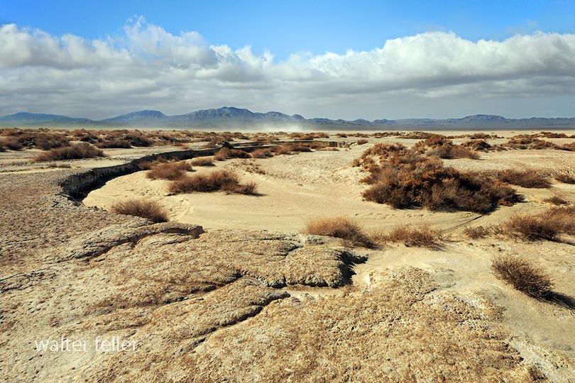
Before settlers arrived, Native American tribes including the Serrano, Paiute, and Mojave lived along the Mojave River. These Indigenous communities thrived on its seasonal flows and the resources it provided. In 1776, Spanish missionary Francisco Garcés passed through the area, blazing trails that later became vital travel routes for westward migration. Between 1849 and 1859, more than 13,000 emigrants, traders, and miners traveled the Mojave River Trail through what would become Apple Valley.
The name “Apple Valley” was coined in the 1890s by Ursula Poates, who remarked on the apple trees growing modestly along the river. Though apple farming peaked in the 1920s with award-winning orchards, it declined during the Great Depression due to high irrigation costs and competition from other regions.
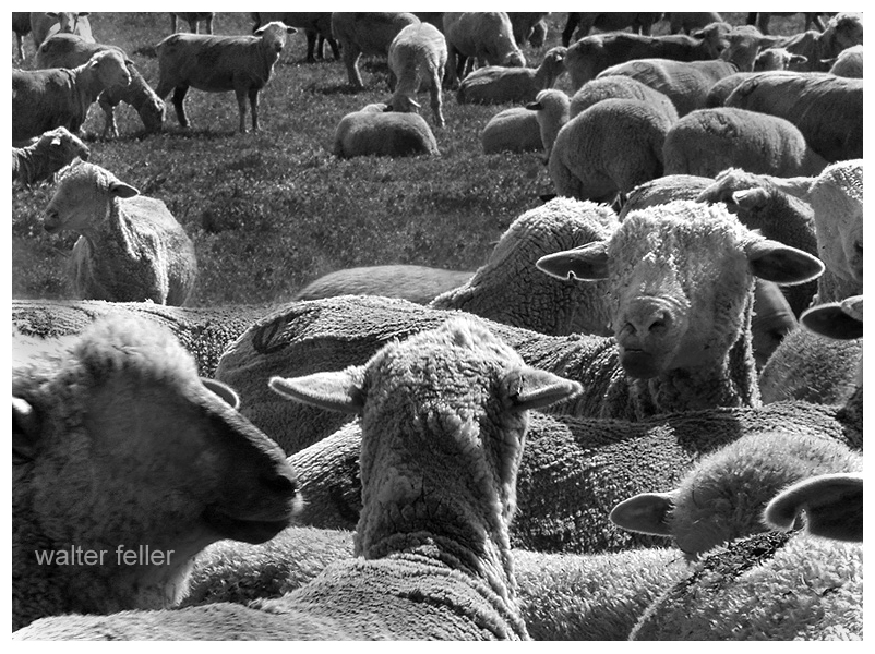
In 1910, Dr. Harris Garcelon homesteaded 160 acres of land and founded what would become Jess Ranch. Originally promoted as a retreat for individuals with asthma and tuberculosis, the ranch eventually served as a sanatorium for World War I veterans. After plans for a resort failed during the Depression, Garcelon’s nephew, Stoddard Jess, purchased the property in 1932. Jess, in partnership with neighbor Gay Lewis, turned it into one of the West’s largest integrated turkey ranches. Later, with ample water rights, they added trout farming and opened public fishing lakes under the “Royal Coachman” brand. By the 1980s, the land transitioned into the residential and retirement community known as Jess Ranch.
The transformation of Apple Valley accelerated in 1946 when developers Newton T. Bass and Bud Westlund established the Apple Valley Ranchos Land Development Company. Their goal was to create a model desert community. In 1948, they opened the Apple Valley Inn, a luxury resort that attracted celebrities such as Bob Hope, Marilyn Monroe, and John Wayne. In 1965, Roy Rogers leased the inn and added his name to it, creating a Western-themed attraction complete with horse stables and outdoor cookouts.
Just above the inn, Newton Bass built the Hilltop House in 1957. This modernist residence, designed to impress visiting investors, featured floor-to-ceiling windows, boulder outcrops in the living room, and panoramic desert views. Though damaged by fire in 1967 and neglected for decades, it stood as an icon of Apple Valley’s early vision until its demolition in 2022. A public overlook is now planned for the site.
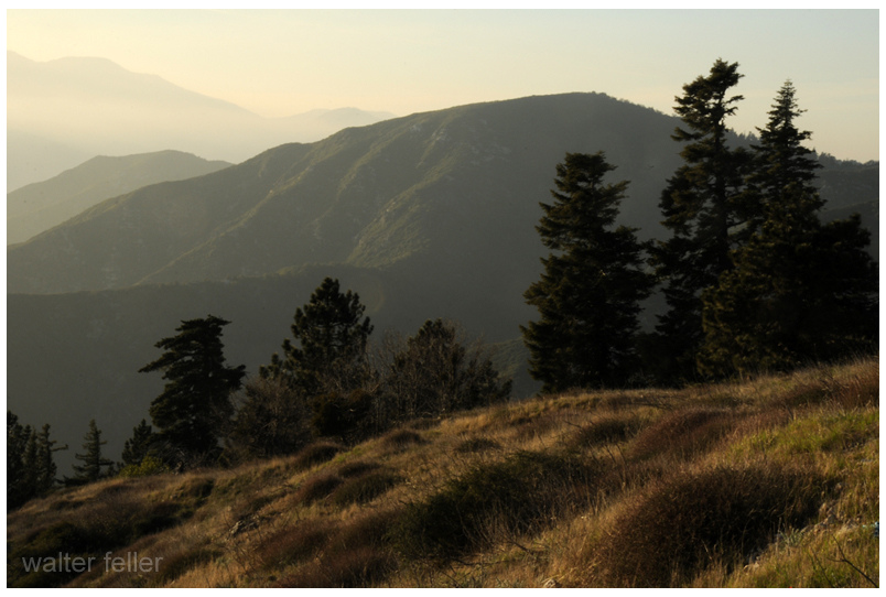
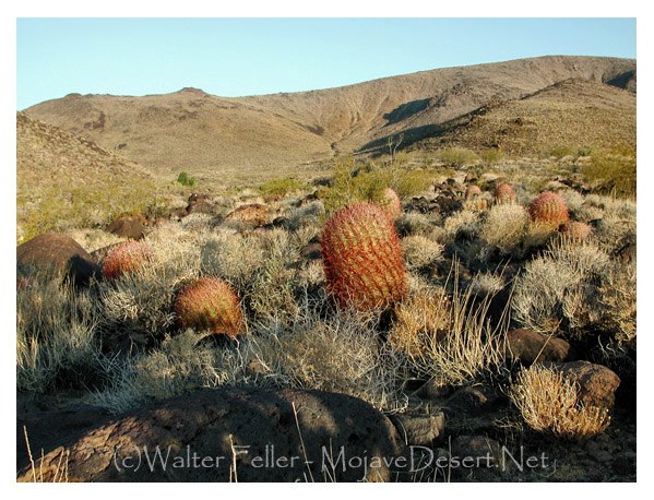
Other notable landmarks include Dead Man’s Point, a granite outcrop between Apple Valley and Lucerne Valley, named for local legends and known for its dramatic views. It was used as a filming location in the 1950s and once hosted a small Old West-themed attraction. Bell Mountain, northeast of town, rises to nearly 3,900 feet. Settled in the early 1900s, it now draws hikers seeking a challenging climb and wide desert views.
Apple Valley was incorporated as an official town on November 14, 1988. Today, it blends desert serenity with a colorful legacy of ranchers, developers, celebrities, and homesteaders—all of whom helped shape this uniquely American desert community.
Timeline of Apple Valley History
- 1849–1859 – Mojave River Trail sees heavy pioneer travel.
- 1890s – Ursula Poates names the area “Apple Valley.”
- 1910 – Dr. Garcelon establishes a health-focused homestead (Jess Ranch).
- 1912 – Homesteaders begin settling the Bell Mountain area.
- 1932 – Stoddard Jess buys the ranch; turkey farming begins.
- 1946 – Apple Valley Ranchos Land Development Company is founded.
- 1948 – Apple Valley Inn opens to attract investors and celebrities.
- 1955 – Dead Man’s Point used as a movie location.
- 1957 – Hilltop House constructed by Newton T. Bass.
- 1965 – Roy Rogers leases and rebrands the Apple Valley Inn.
- 1977 – Jess Ranch ceases turkey operations.
- 1986 – Residential development begins at Jess Ranch.
- 1988 – Town of Apple Valley officially incorporates (November 14).
- 1994 – Jess Ranch trout farm closes.
- 2003 – Restoration efforts begin on Apple Valley Inn.
- 2022 – Hilltop House is demolished; the site is slated for a scenic overlook.