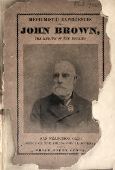
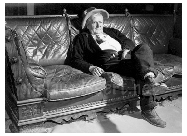
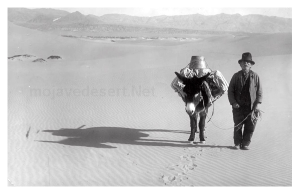
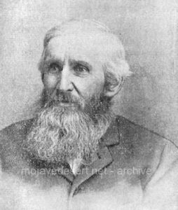
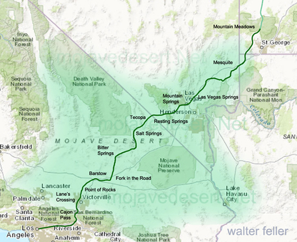
John Brown senior was prolific in early San Bernardino County history. He was a man of many careers; sailor, soldier, frontiersman, store owner, road builder, and community leader. John Brown was also a Spiritualist and wrote a book about his experiences titled ‘Medium of the Rockies.’
John Brown had a Spirit Guide who would come to him and give him visions of things that were to happen. Mr. Brown claimed his guide was very accurate in his predictions. He recalls one experience as follows:
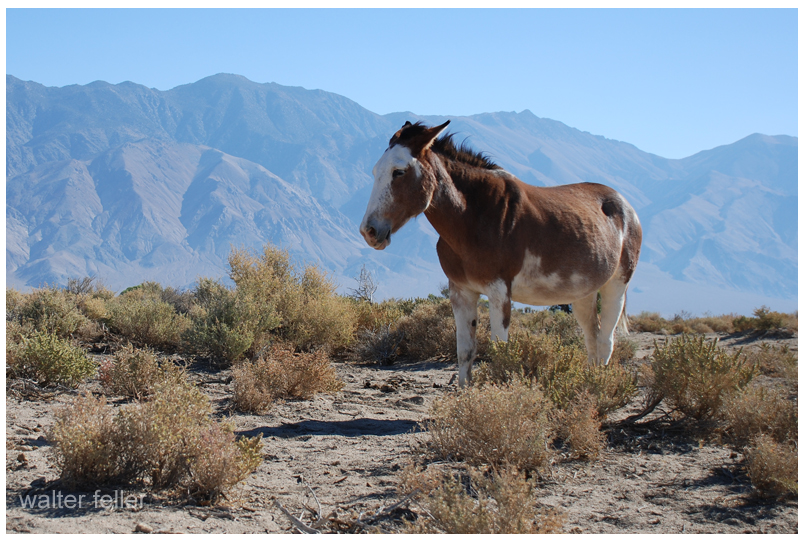
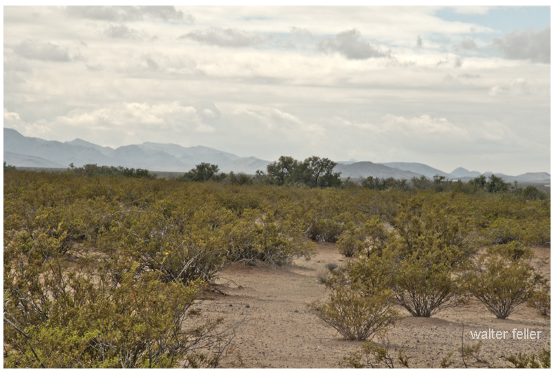
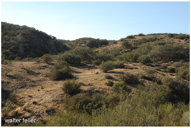
One night, in my wild Mountain home, it was about 1843 or 4, dates I have forgotten, my guide came to me and told me: “Tomorrow you will throw a stone and break your riding mule’s hind leg. . . .
Mr. Brown may have been in a dream or meditative state when he had this vision.
. . . My guide took me out into the valley where my mule was standing, about 30 yards distant from us. I picked up a stone, threw it and broke the leg as my guide had said. He then said: “There, see what you have done. Now, you tell all your companions what I have shown you, and let them prevent it if they can.”
Establishing the sanctity of the moment:
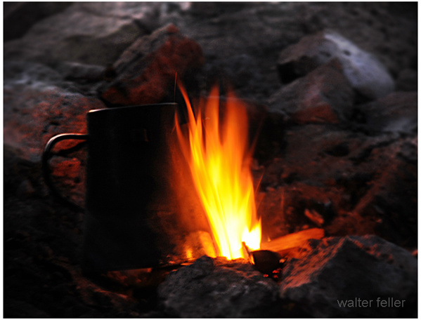
At this time I lived in a lodge in Indian style, with two men named Brinks and Burrows, and as usual, I found, on waking, all the men encamped sitting quietly around me; as by this time they had become firm believers in what I could tell them, and no one would leave camp, or turn loose any horses until they consulted the prophet, as they called me, and would then use such means as they thought would prevent coming to pass what I had told them.
I suppose John’s talents and abilities have impressed the men previously since they call him the “prophet.”
And as use such means as they thought would prevent coming to pass what I had told them on this occasion, I requested them to prevent, if possible, breaking the mule’s leg; I told them it would occur about sunset. They then placed a guard over me and declared I should not go out of the lodge that day; and thus they felt sure they had Spirit and Prophet both in their power. And, I assure you, reader, I was just as just desirous as anyone to prevent the act from taking place. But notwithstanding they, on many other occasions, had used the same or similar methods to prevent my sayings coming true and always failed, yet they had the hopes of being successful this time. —
Mr. Brown details how horses were separated into two groups to keep marauders from stealing them all at once.
— I must explain to the reader that in the wild country, in those days, we had one man hired, usually a Mexican, the guard are animals in the daytime when we were not traveling, and bring them up to our camp about sunset, when every man who own horses would take them to some secluded spot and hide them, retaining a few, that would be tied encamped by the foot to a large stake. This was done to prevent the Indians from getting all, in case they came upon us.–
With that being said, Mr. Brown remains in the lodge throughout the day in order to prevent the events of his vision from taking place.
— I remained a prisoner and till nearly sunset, when a you and a cry was raised for all hands could turn out. Here comes the cabaloto! Band the horses, every man take care of his horses! Thus a tumult was raised, to which all were accustomed on occasions of this kind, and I, with all the camp rushed for two separate then drive my horses to their hiding place for the night.
Before Mr. Brown proceeds with the rest of the story he reminds the reader about the prediction and explains that at that moment it was on no one’s mind.
Reader, not a man in that camp remembered one word or thing which had been said or done regarding this mysterious affair. All thought in reference thereto was taken from all, not even myself, who had been a prisoner all day, had the least conceivable idea of breaking my mule’s leg. —
Of course. Perfect.
— It so happened that one of Burrows’ mares had foaled a colt that day, to which my mule had become attached. Mr. B. was near his mare looking at the young colt, and as I was driving my horses, the mule, having made friends with the colt and its mother, would run back, which he continued to do as I would try to drive him away; after I had worked in this way for some time, I passed close to where Burrows stood and remarked to him that I would throw a stone at him which I did. —
Within all the ruckus and confusion, a moment of clarity–A self-fulfilling prophecy?
— And the instant the stone went from my fingers everything flashed upon my mind; I turned my back towards the mule and remarked to Burrows that I had broken my mule’s leg. He said: I reckon not at that distance, which was about 30 yards. I told him I saw the stone go just as I did in the night and I knew the leg was broken. He then said: “I believe you have, for the mule made a jump and now cannot put his foot to the ground.” —
The witness speaks:
— Mr. Burrows then remarked, “there is something wonderful about this affair–it is certainly mysterious to think that we never can prevent anything from transpiring that you say will.” . .
So says Mr. Burrows of the Prophet, the Medium of the Rockies.
. . . He then called all to come and witness that what I had told them had come true.
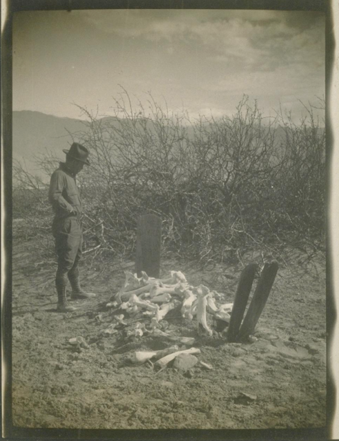
No one seems phased over the loss of a good mule.
—