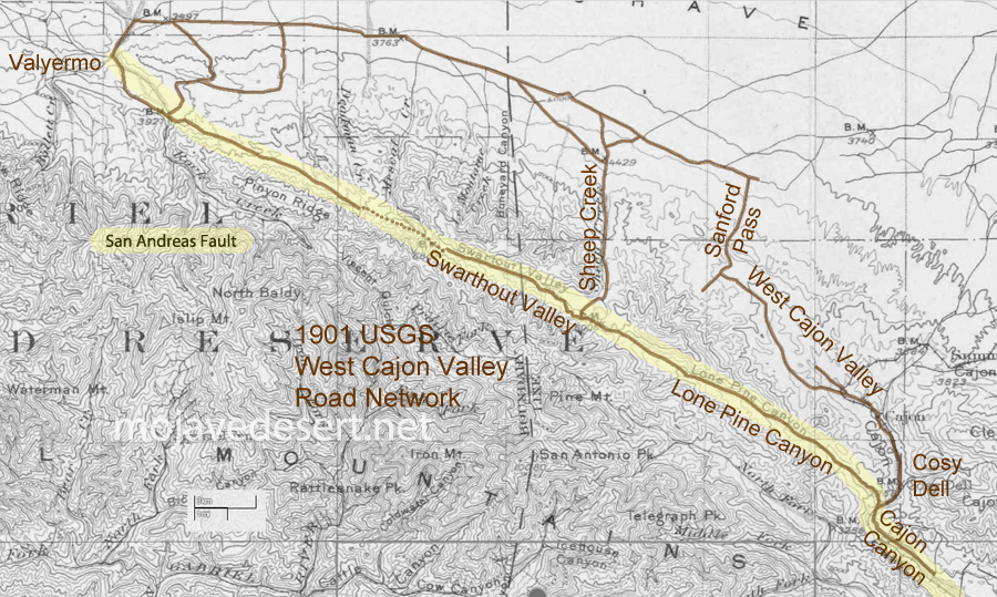
It seems that people have made use of the San Andreas Fault long before automobile or even wagon roads were developed along its seam. Shown is a 1901 U.S.G.S. map where I have traced the route leading from near Blue Cut in the Cajon Pass, just about straight northwest to Valyermo. The dotted line portion shown at the Big Pines saddle may have been either a mule trail or a road possibly impassible or without increased effort by wagon or auto. Indians likely used the features of the fault as a footpath to do as we all do; go from here to there.
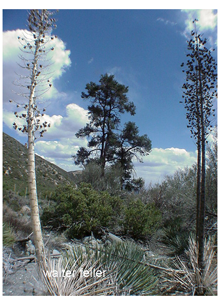
Lone Pine Canyon 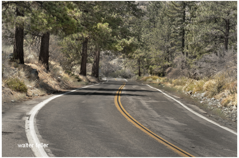
Lone Pine Canyon Road 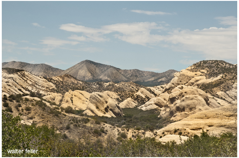
Mormon Rocks