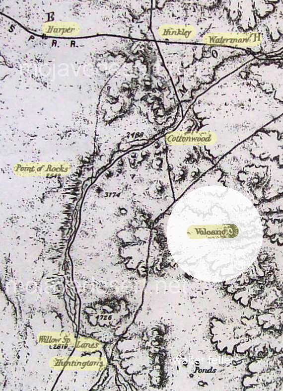
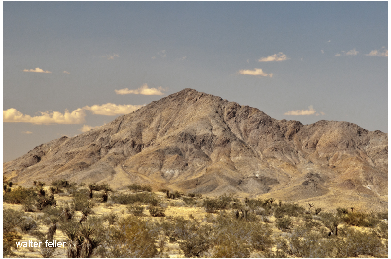
The Wheeler map made in the 1880s shows a volcano between what is Victorville and Barstow.
The questions is; Is the “Volcano” either Stoddard Mountain or Bell Mountain?
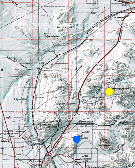
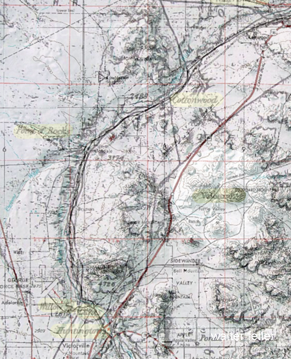
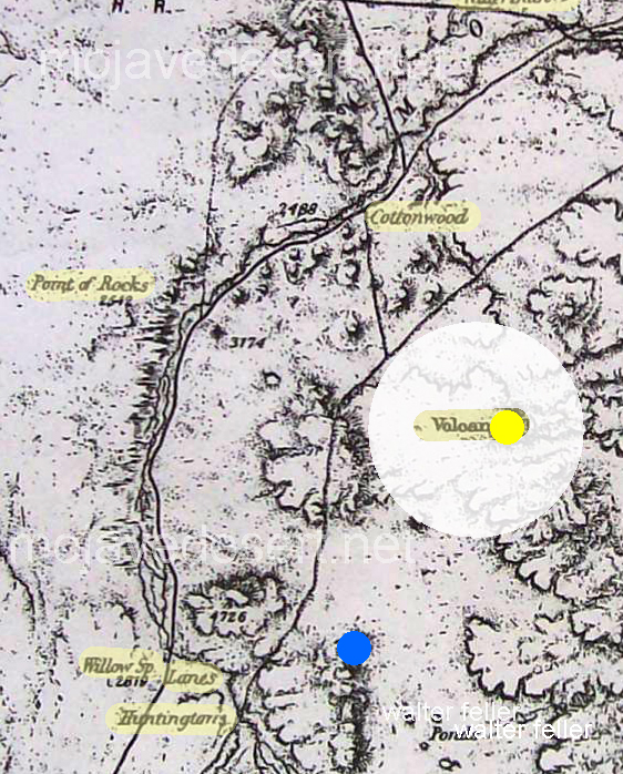
So it looks as if the “Volcano” is nowadays known as Stoddard Mountain.
Maybe next time; Is Stoddard Mountain a real volcano?