Patrick – Age 20
Sometimes you get out there to do what you do whatever it is you do when you are there but it just doesn’t look real and something is not quite right. Well, you are correct because nothing is quite right or real 100%, but what are you going to do? Cry?
Someday all beautiful things will have been worn away and become mundane and undesirable to view. Then, I imagine all the ugly stuff will become unique and beautiful because they are different and exciting. I imagine.
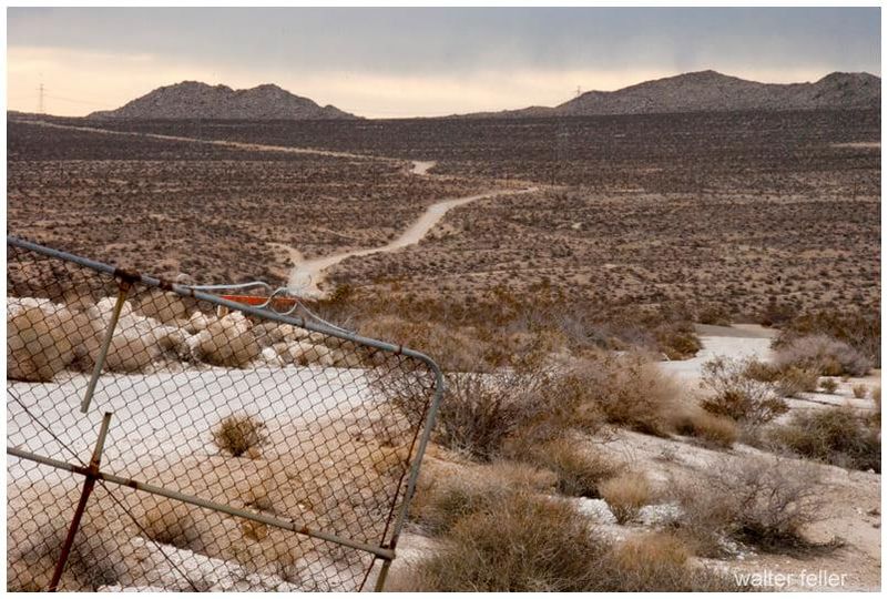
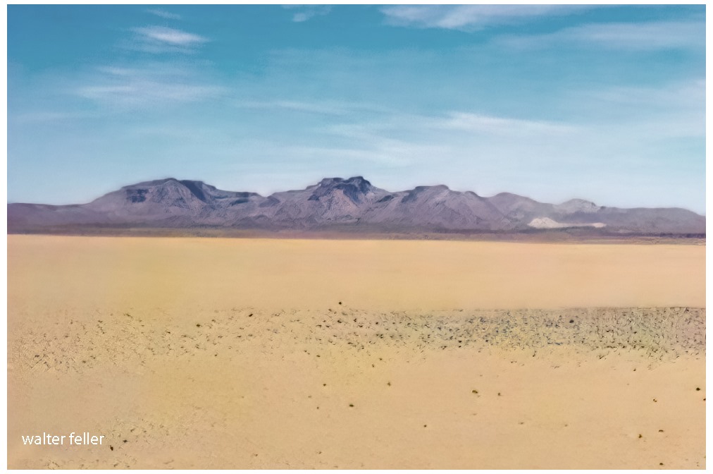
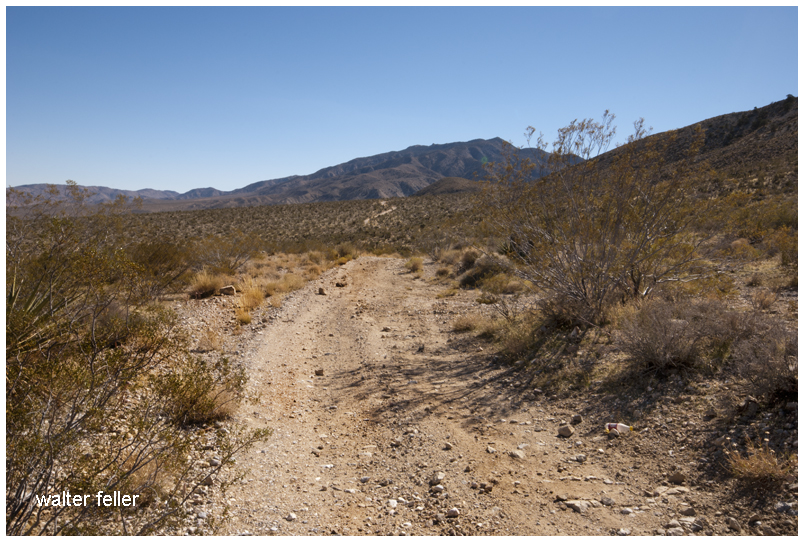
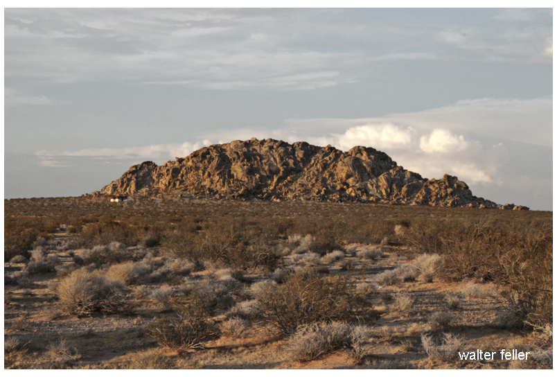
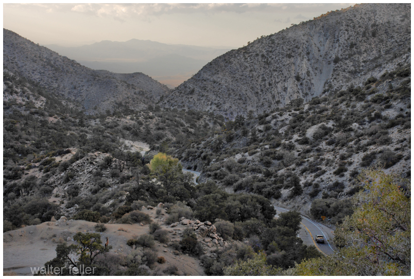
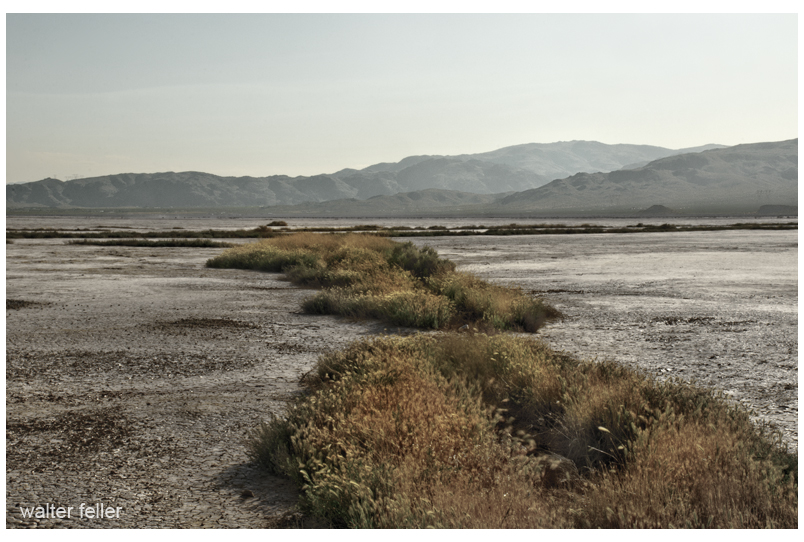
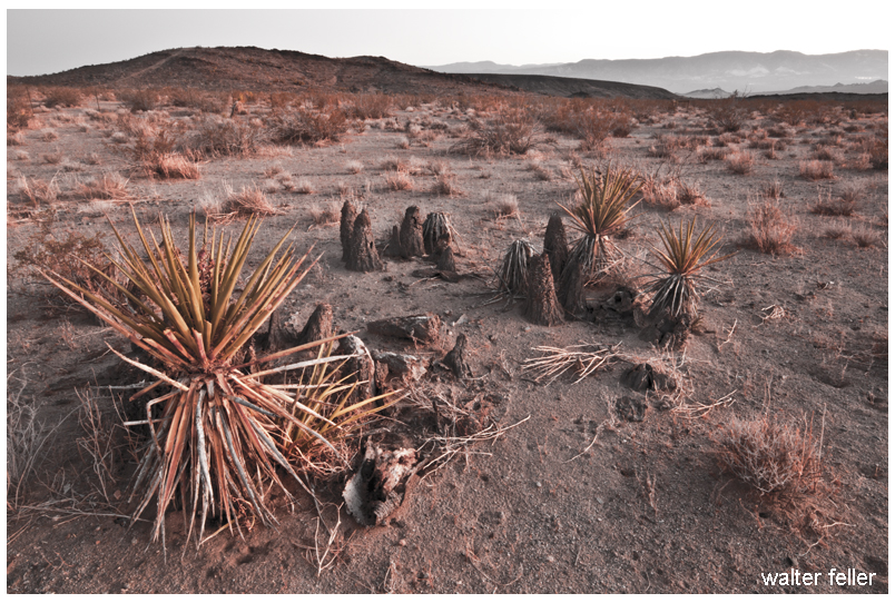
The scribbled road escapes through a broken gate tearing across the rumpled and scratchy desert.
Zig-zagging hastily along the narrow and dusty trail.
Traversing the rise, and disappearing, then a cloud of dust and disappearing again into the far horizon.
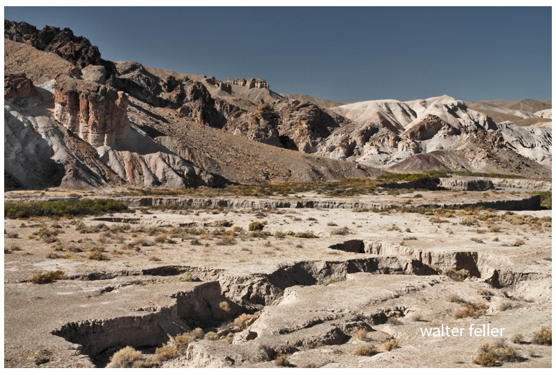
Under the dull gray-white skies of this heartless Mojave valley
Nothing moves and stands fast until dark.
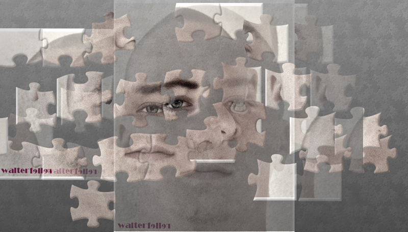
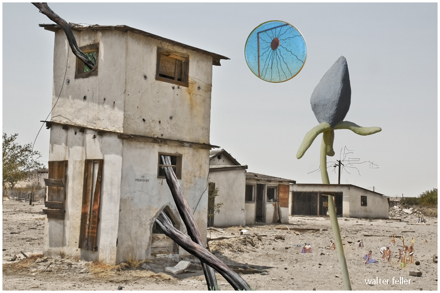
Ekphrastic Surrealism
Under the Metallic Sun: Invasive Species
(Mirror sun and stucco flower by Dennis Rudolph)
Mike was alone now. It was just him and the wind in the desert. He wasn’t scared. He would listen to Nature. It would speak to him–tell him what he needed to do. In fact, the wind was trying to touch base with Mike at that very moment. It was saying, “Hey Mike? Mike? Can you hear me, Mike? Mike?” Mike, however, was preoccupied with trying to get a signal. Without water or shelter, Mike was a goner. Too bad for Mike.
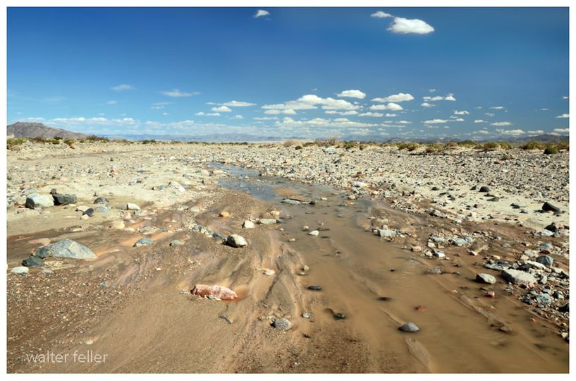
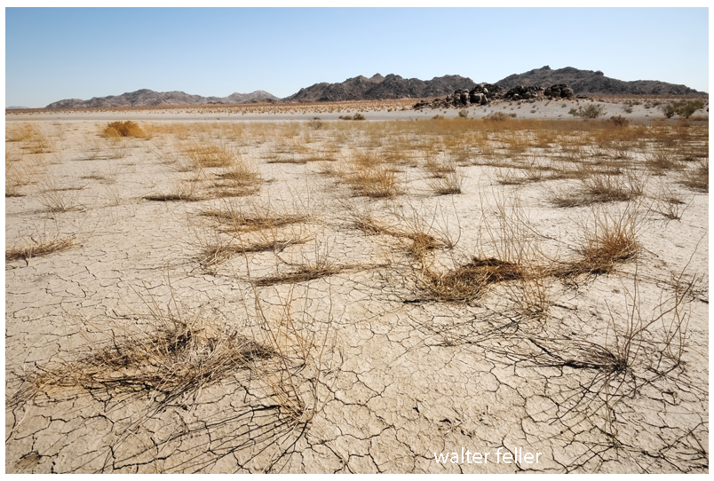
It is the strangest thing; the river; I follow it downstream and it becomes smaller and smaller and smaller. With every step, it becomes less and less and less. The water diminishes and depletes until it is just a trickle, until a glisten, until just a wet spot surrounded by damp sand, and then nothing. That is how this river ends–not mightily at an ocean, but quietly, subdued in the sand and rubble and stone becoming as if it never were.
Mojave River
https://digital-desert.com/mojave-river/
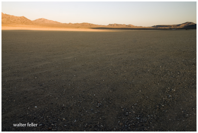
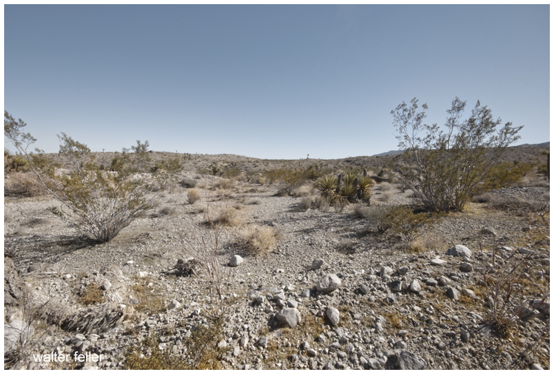
Various photos of Johnson & Lucerne Valleys


There are three ravens in the sky above the oak on the left. The raven on the far right of those three flew in front of me after first cawing and catching my attention. Over the years I have learned when this happens there are two ravens flying safely and quietly behind me. I like to believe they do this as a strategy to distract potential predators.
Veristic surrealism; an abstraction of a reality created through free thought.
Questions to ask yourself;
Do you like it?
Why do you like it?
What does it represent to you?
Veristic – positive, life, moving forward.
And if you do not like it; it does not exist.

All of a sudden nothing made sense. Not that there was nothing or that anything in the nothing meant nothing but that nothing with nothing in it did indeed, not mean nothing.
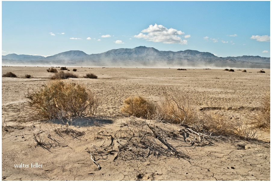
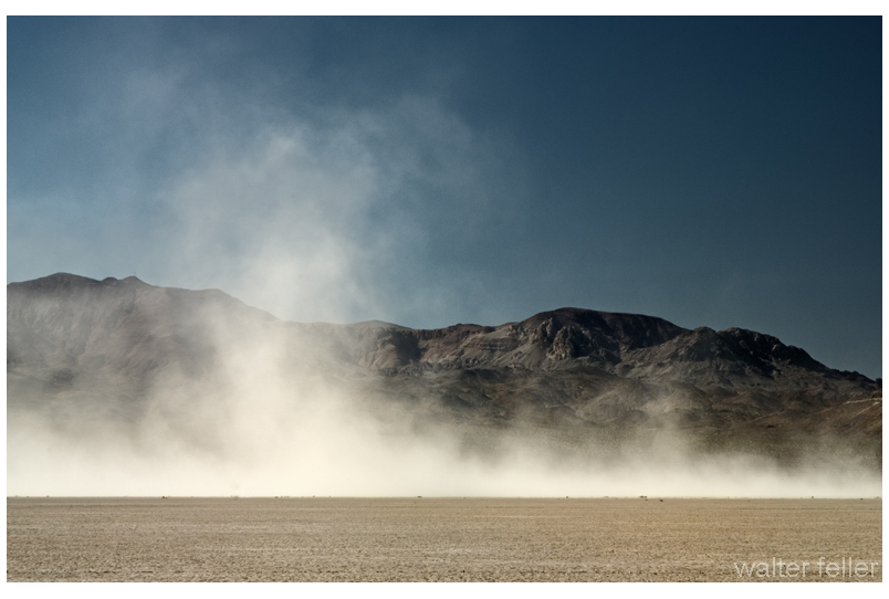
There is a broken land where mountain ranges rise like angry tidal waves in turbulent, slow-motion seas, senselessly wrestling in convection.
Occasionally, countless battalions of clouds march briskly right to left without leaving a drop of water, all saved for a brutal assault on a faraway fire.
adapt or die–that is all that can be said.
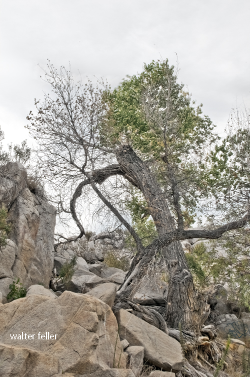
Broken animals and plants living in uneven symbiosis.
and above; thrown into the wind, birds fly incorrectly and confused
and tumble from the sky in mid-breath.
tiny fish in the broken river’s warm water quietly dance an intricately choreographed ballet.
Trees are not trees . . .
and the rabbit is not in charge as he would have you believe.
remember that.
Bragging coyotes arrogantly bark and yap after a kill
Then they eat.
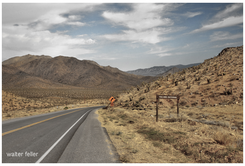
Bits from an interesting 1961 article about by-passing downtown Barstow and modernizing transportation infrastructure at the geographical descendant of ‘Forks-in-the-Road‘ of pioneering times. Speaks to the morphology of the transportation corridor from the classic Route 66 to the modern Interstate 15 Freeway. Also, see Sidewinder Road for maps between Victorville and Barstow.
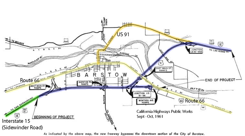
On July 5, nine miles of the Barstow Freeway, known locally as the “Barstow By-Pass”, were opened to traffic by construction contractors Gordon H. Ball and Ball & Simpson.
The project is an extension of the 24-mile freeway from Victorville to Barstow which was opened in January 1959. It makes available the improvement to full freeway standards of an important link of Federal Interstate Route 1 S (U.S. 91) and the first step of freeway improvement of Interstate Route 40 (U.S. 66) toward Needles.
California Highways, Sep/Oct 1961.

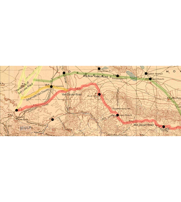
Not all-inclusive, this 1901 map shows basic transportation routes between the Cajon Summit on the west and east from there through either the San Bernardino Mountains or Lucerne Valley to where the two roads meet in the Big Bear Valley.
This map below was made in 1883 and shows an earlier and geographically expanded version of the routes.
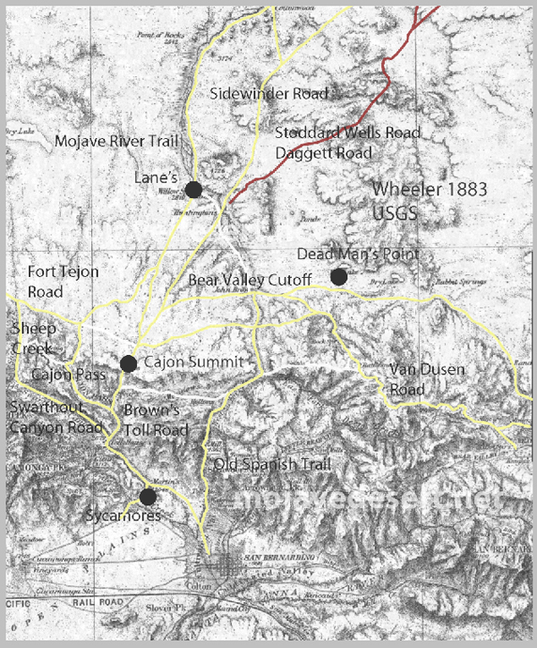
The 1883 map is more inclusive and contains a couple of items I want to keep track of. There are differences but the road segments look about the same.
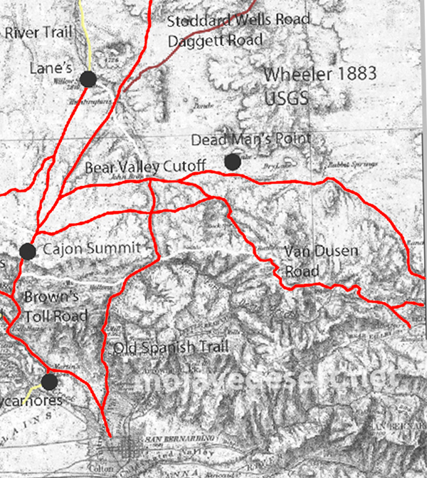
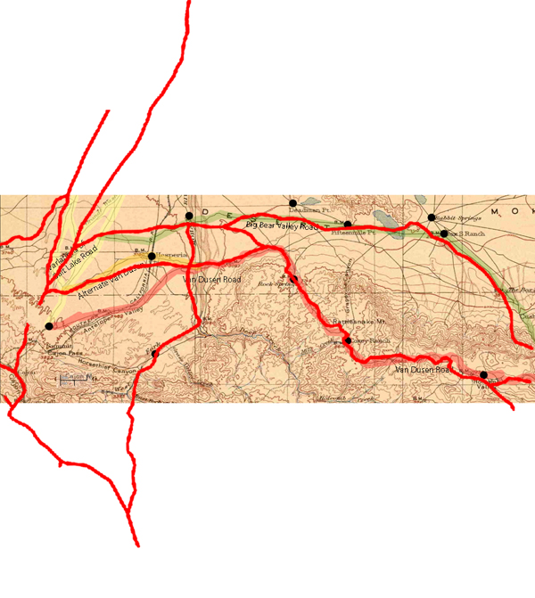
I made a copy of the 1883 roads layer and made it red to stand out better.
There are some nuances between the two maps, and right now the Oro Grande Wash area seems considerably off, fiddling with it some I can get a better fit–but not at these rates. The 1901 would be the more accurate depiction of what went on out there even if it were 35 years or so after the fact.
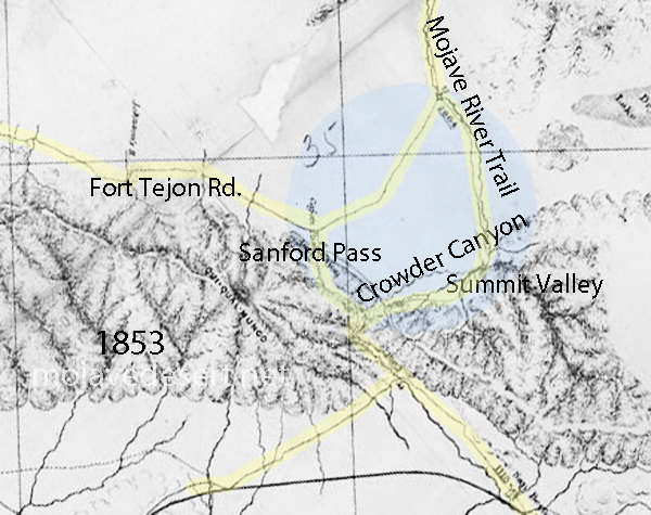
Note that in the above map the variations of trails from across the valley leading to the Cajon Summit seem not to have been developed at this time and instead the trail along the Mojave River is shown.