Tag Archives: Mojave River Trail

Historic Victor Valley Wagon Roads

Primary regional road network — USGS 1901

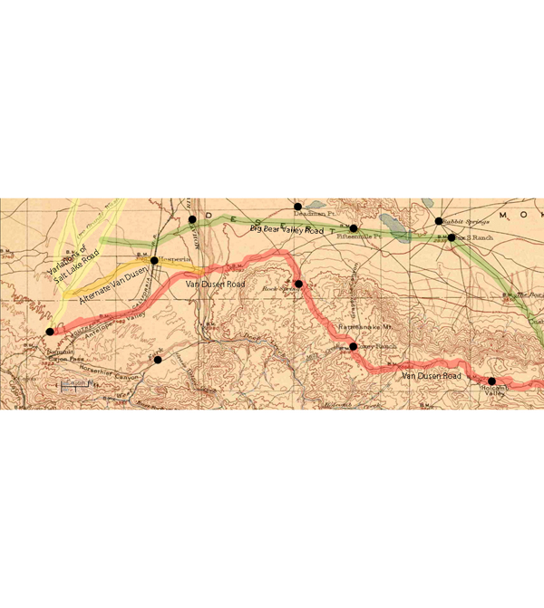
Not all-inclusive, this 1901 map shows basic transportation routes between the Cajon Summit on the west and east from there through either the San Bernardino Mountains or Lucerne Valley to where the two roads meet in the Big Bear Valley.

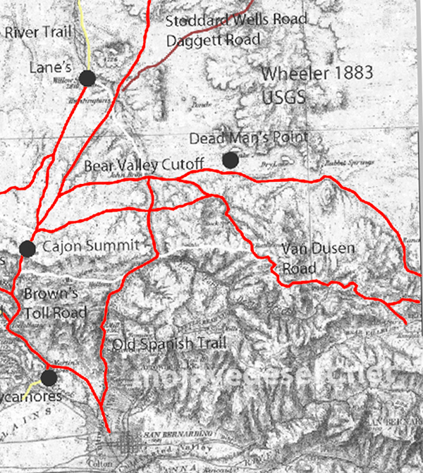
This map below was made in 1883 and shows an earlier and geographically expanded version of the routes.

1883 map of route network in the upper Mojave River region (note; no railroad)

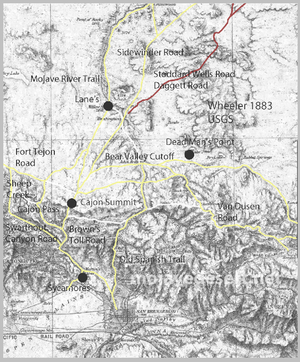
The 1883 map is more inclusive and contains a couple of items I want to keep track of. There are differences but the road segments look about the same.

I made a copy of the 1883 roads layer and made it red to stand out better.

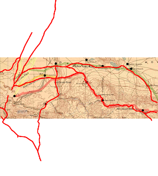
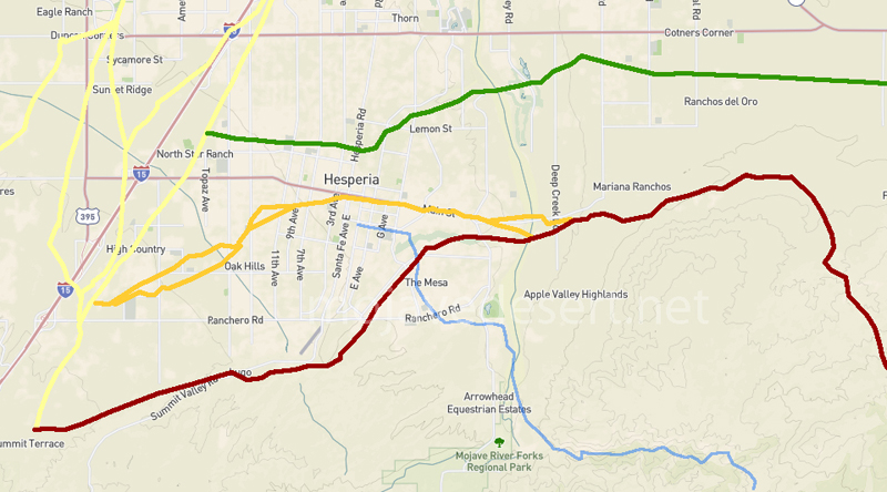
There are some nuances between the two maps, and right now the Oro Grande Wash area seems considerably off, fiddling with it some I can get a better fit–but not at these rates. The 1901 would be the more accurate depiction of what went on out there even if it were 35 years or so after the fact.

Williams USGS survey map 1853

Note that in the above map the variations of trails from across the valley leading to the Cajon Summit seem not to have been developed at this time and instead the trail along the Mojave River is shown.

1901 trail routes transposed over modern street map through Hesperia

Victor Valley Crossings

Fr. Francisco Hermenegildo Tomás Garcés, (April 12, 1738 – July 18, 1781) was a Spanish priest who crossed the Mojave Desert in 1776. This map shows his route across the Victor Valley. Following the Mojave River after crossing at Oro Grande he walked through what is now downtown Victorville bypassing the rocky narrows and connecting back with the river near today’s Mojave Narrows Regional Park. Following the river to where the West fork and Deep Creek join to form the Mojave. He visited with the Indians then made his way up Sawpit Canyon and over the mountain ridge descending into the verdant sycamore grove that is known today as Glen Helen.

This map shows the route of Fr. Garces in 1776 during his crossing west. His diary it describes him being taken to an Indian village in the mountains.

50 years after Fr. Garcés made his way across the Mojave from the Colorado River, in 1826, Jedediah Smith retraced the trail of Garcés along the river then up and over the mountains. In 1827, one year after his first crossing, Smith had lost most of his men in a massacre at the Colorado River. Desperate for the safety of civilization, Smith, after crossing the Mojave River in Oro Grande, made his way directly to the Cajon Pass bypassing the San Bernardino Mountains.

The direct route over the summit and down the pass eliminates the steep climb and descent over the San Bernardino Mountains.