The Cushenbury Grade is a steep and winding stretch of mountain road that climbs from the high desert of Lucerne Valley up to the pine-covered town of Big Bear Lake. Today, it’s part of California State Route 18, but long before pavement and guardrails, this canyon trail served miners, ranchers, and Native travelers through the San Bernardino Mountains.
Before roads were built, the Serrano people used footpaths through Cushenbury Canyon to move between desert and mountain environments. These routes followed natural contours through the rugged terrain and were later adopted by settlers.
By the 1860s and 70s, prospectors, cattlemen, and freighters were dragging wagons up and down this slope. During the gold boom in nearby Holcomb Valley, Cushenbury became one of the main north-side routes into Big Bear. It was grueling work—steep grades, loose rock, and no guarantee your wagon would make it to the top in one piece.
The canyon and grade took their names from the Cushenbury family, early settlers and cattle ranchers in the Lucerne Valley area. Their name stuck, and by the early 20th century, the area gained new attention, not for gold but for limestone.
In 1918, rich limestone and marble deposits were discovered along the grade. This sparked industrial interest, and by the 1950s, Kaiser Cement had developed a massive limestone quarry near the top. A narrow-gauge rail system carried raw material down the grade to a processing plant: even today, trucks loaded with cement rumble up and down the slope.
During the 1960s, the state upgraded the road and officially folded it into California State Route 18. This brought pavement, safety improvements, and better access to Big Bear from the desert side. Though safer now, the grade still features tight switchbacks and dramatic elevation changes, rising from about 3,000 feet in Lucerne Valley to over 6,700 feet at the top.
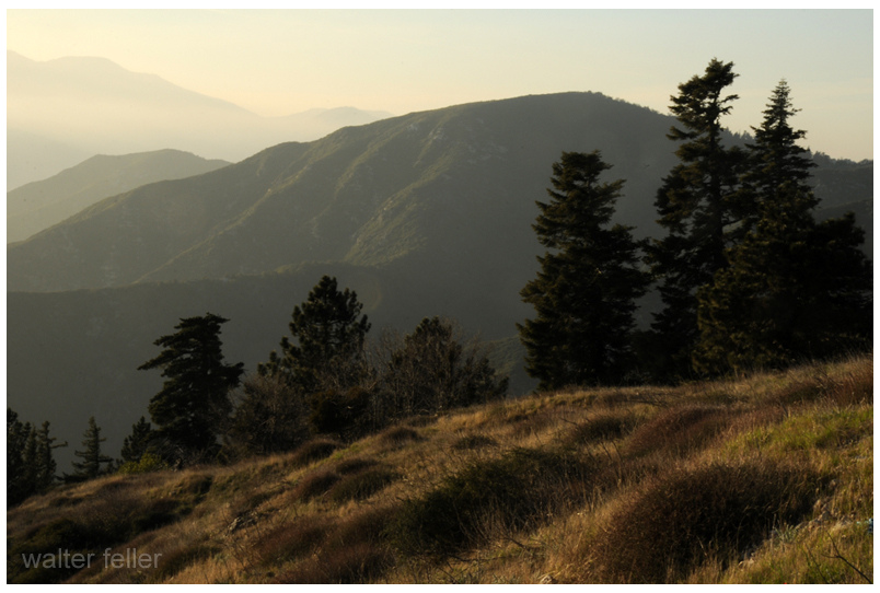
Today, the Cushenbury Grade remains a key route for both commerce and recreation. It offers expansive views of the Mojave Desert below and a sense of just how much effort it once took to reach the mountains. Whether hauling limestone or heading up for a weekend getaway, this road directly links two very different worlds—desert and alpine.
Timeline
Cushenbury Grade Historical Timeline
Pre-1800s:
Indigenous Serrano people use Cushenbury Canyon as a seasonal travel route between the Mojave Desert and mountain forests.
1860s–1870s:
Miners and ranchers began traveling through the canyon using rough trails to access Holcomb Valley and Big Bear. The steep terrain made it tough for freight wagons and livestock.
1880s:
A more defined wagon road is carved into the canyon wall. It’s still rough going—narrow, rocky, and dangerous—but it’s one of the few ways into Big Bear from the desert.
Early 1900s:
The Cushenbury family settles in the Lucerne Valley area, giving their name to the canyon and grade.
1918:
Limestone and marble are discovered along the canyon. As mining gains momentum, the area shifts from wagon trail to industrial corridor.
1950s:
Kaiser Cement develops a large limestone quarry near the top of the grade. A private rail system is built to haul material to the desert floor. This leads to improvements along the road.
1960s:
The state paves and upgrades the road, officially making it part of California State Route 18. It becomes a year-round access route to Big Bear Lake from the high desert.
1990s–present:
The Cushenbury Grade is heavily used by cement trucks and tourists. The steep climb and sharp turns remain challenging, especially in winter, but it’s a vital link between two different environments.
